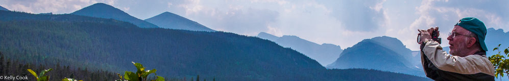
Our 2015 vacation took us to Estes Park, Colorado, and the Rocky Mountain National Park. We stayed in Estes Park 4 nights, giving us 3 full days. All of our day trips were to the eastern side of the Rocky Mountain National Park, we never did make it over the Continental Divide to the western part. For photography we had 2 cameras with 4 lenses, all the Micro Four Thirds type. Half of this gear was rented. So lots of photos! I’m a lazy typist, Rocky Mountain National Park will hereafter be written as “RMNP”.
Viewing instructions:
To see all the photos – Scroll down. Or use the PageDown key. For a mobile device swipe up.
To see any photo bigger – Mouse click directly on the photo. For a mobile device touch the photo.
To return to all the photos – Mouse click anywhere outside of the photo (grayed out area). For a mobile device touch anywhere outside of the photo.
Day 1 was almost a blowout for photography due to heavy clouds and a little rain. But at the end of the day the Sun did peep through enough to grab a snapshot of the small river running by our hotel. This is one of 3 rivers that converge at the town of Estes Park.
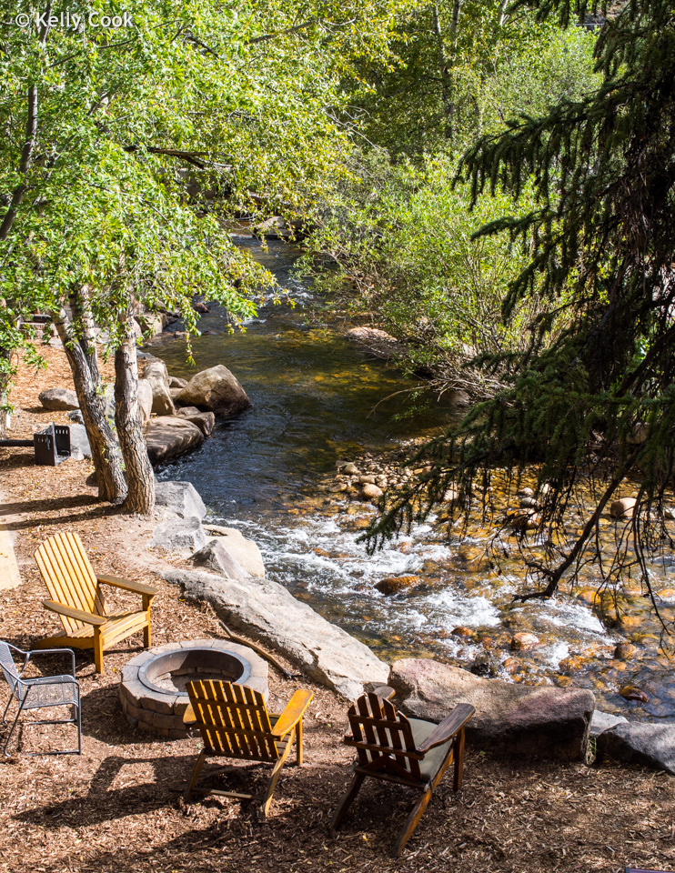
Fall River in Estes Park
Day 2 brought some breaks in the clouds to the north, so we headed out for the north entrance for the RMNP. Along the way were some nice homes, this one had a very artistic gate.
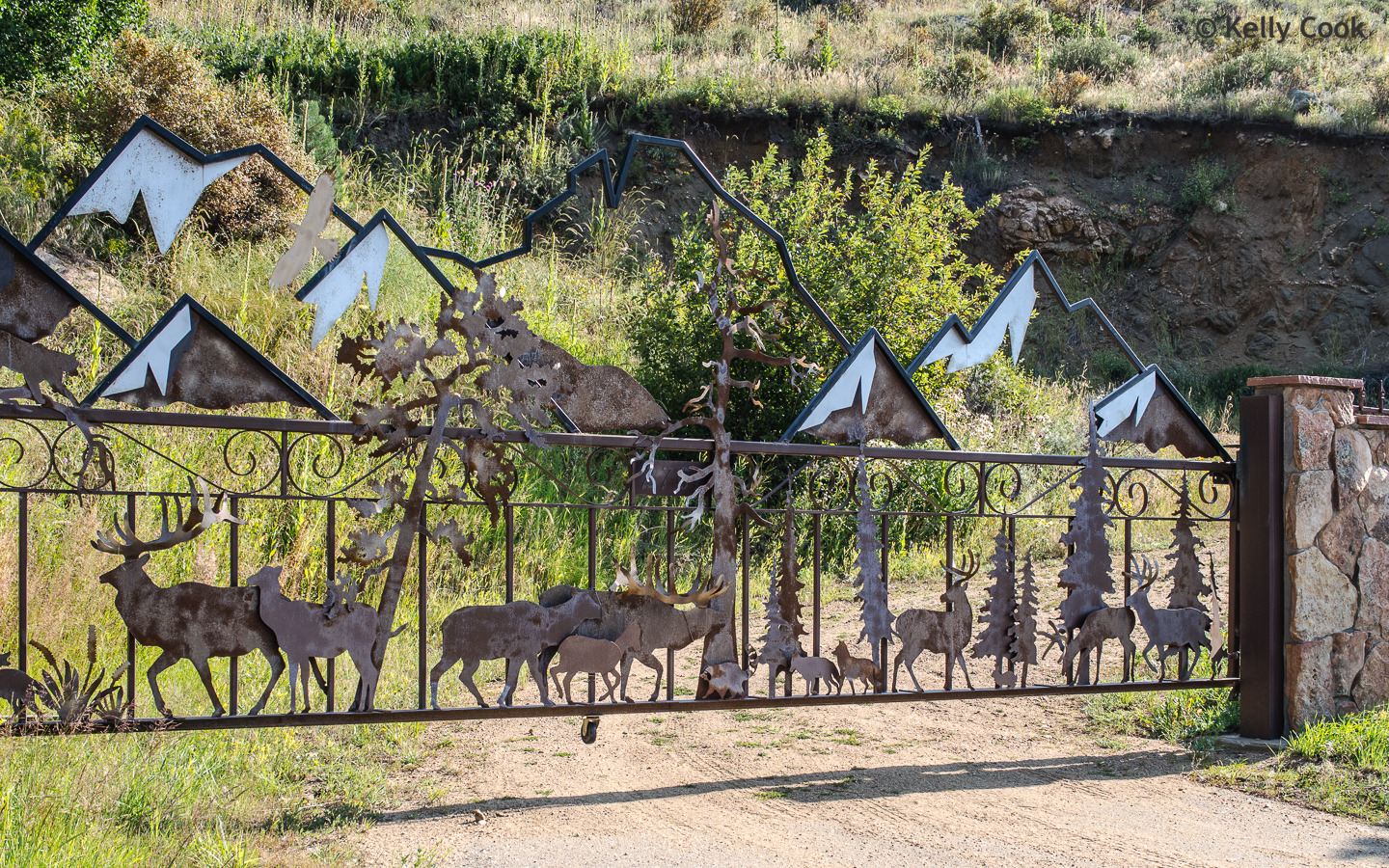
Ultimate gate?
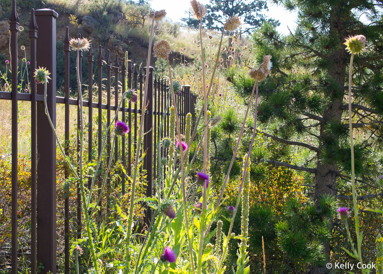
We don’t see these plants in Arizona!
The bigger rivers in the RMNP form flat bottom, treeless valleys. So these are kind of thematic views, taken near the north entrance.
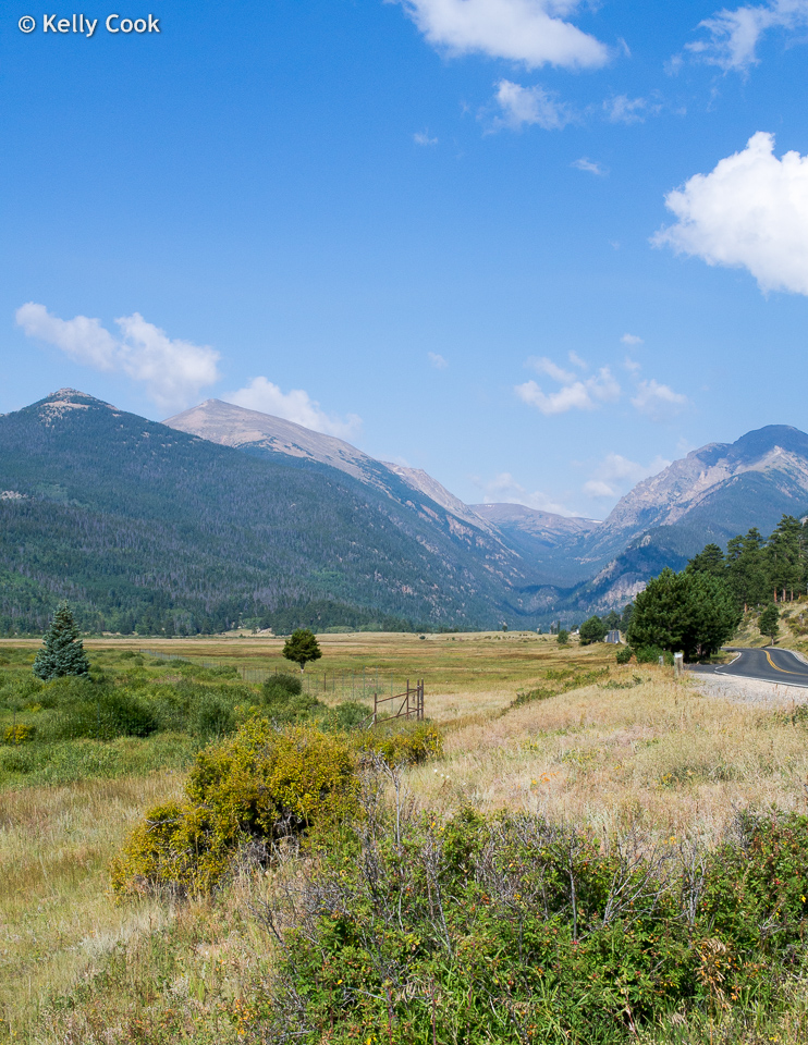
Trail Ridge Road near the RMNP north entrance
Fall River with the Gore Range in the distance
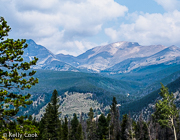
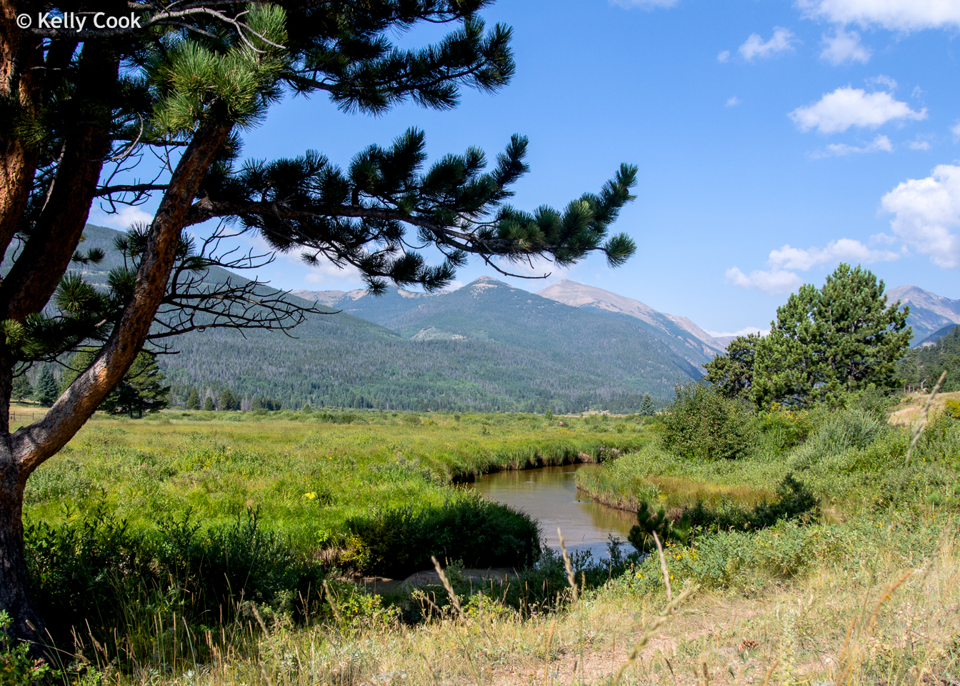
These valleys are extensive, lots of easy trails, you don’t have to be an athlete to enjoy the RMNP.
In the Horseshoe Park, RMNP
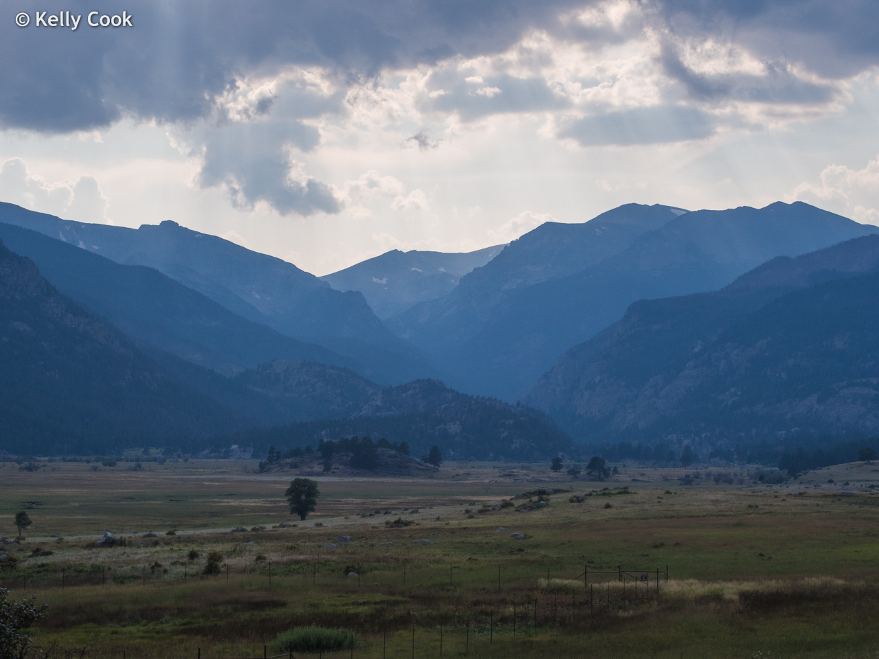
The road for the north entrance turns south and climbs up to meet the road that connects with the southern entrance to the RMNP. This highway then continues up over the Continental Divide, but we took this road just far enough up for a nice view back toward the north across the Horseshoe Park.
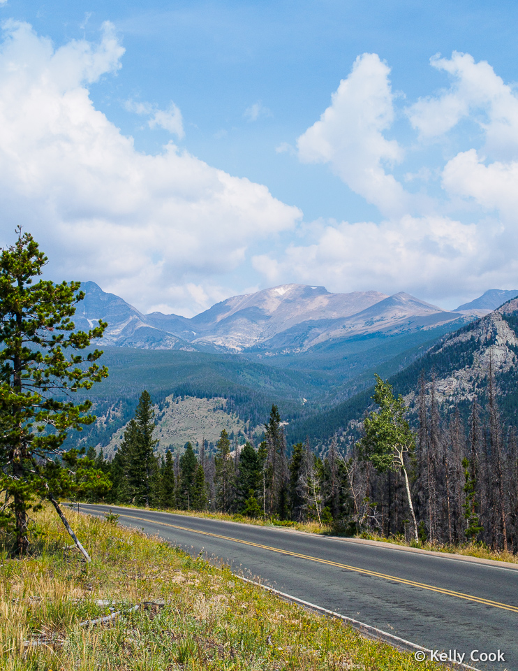
From the Trail Ridge Road with the Mummy Range in the distance. Highest peaks are 13500.
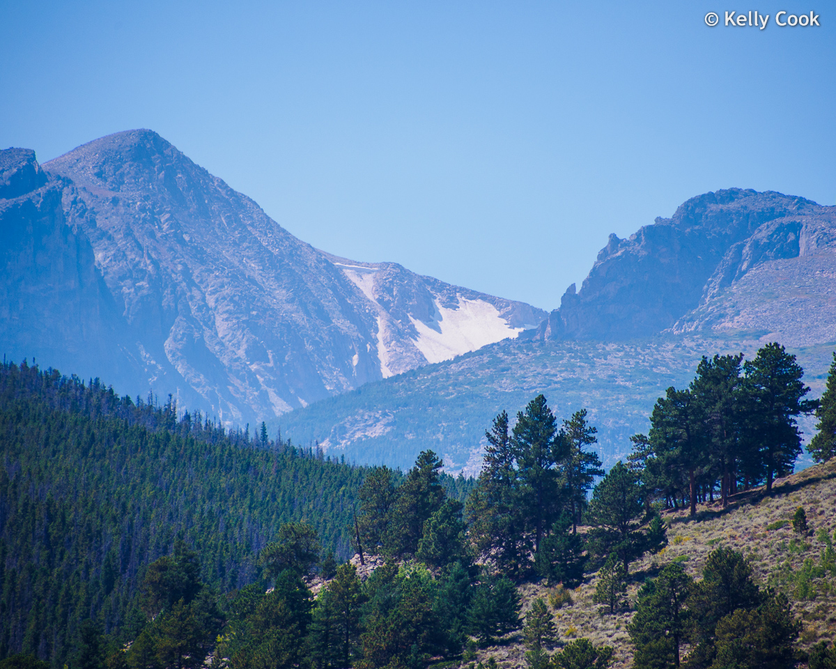
We turned around, and headed toward the south entrance. While descending the mountain there is a sweeping view across the south half of RMNP. The shot below shows a number of geographic features. From near to far:
- The open grassy area below is the Upper Beaver Meadows. Link for a full description of this – ProTrails – Beaver Mountain Loop
- The dark forested slope coming down from the right is the SE flank of Beaver Mountain
- The deep valley in the distance is for the Big Thompson River. On the next day’s visit we saw a lot of fly fishermen using that river.
- The lofty crest on the horizon looks like a jagged ridge. That is a bit of an illusion. As that is really the eastern edge of a big flattop uplift, table mountain if you like. The name for that feature is Bighorn Flats, sits at a little over 12,000 feet.
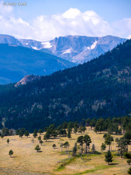
View across the Upper Beaver Meadow toward Bighorn Flats

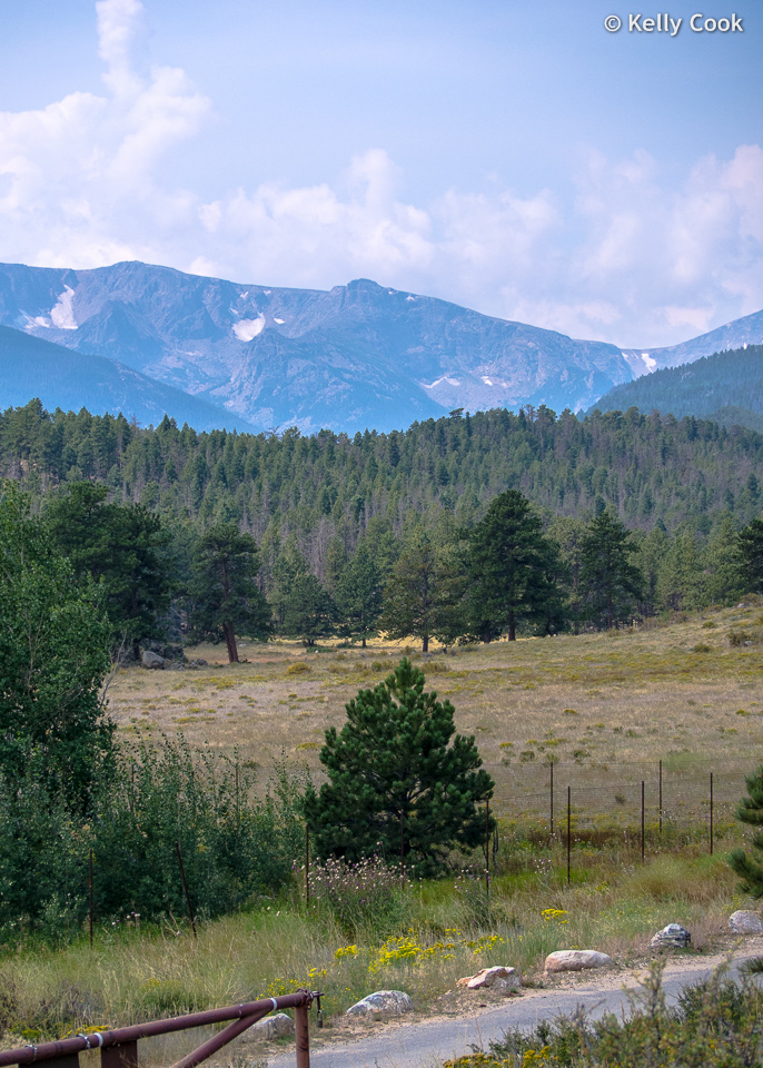
Turnoff to campground for Upper Beaver Meadow. The dip in the skyline is Sprague Pass, 11,700 feet.

At the bottom of the grade we turned south toward Sprague Lake. On that drive luck was really with us. We came across the elk shown below, lounging around, very close to the road!
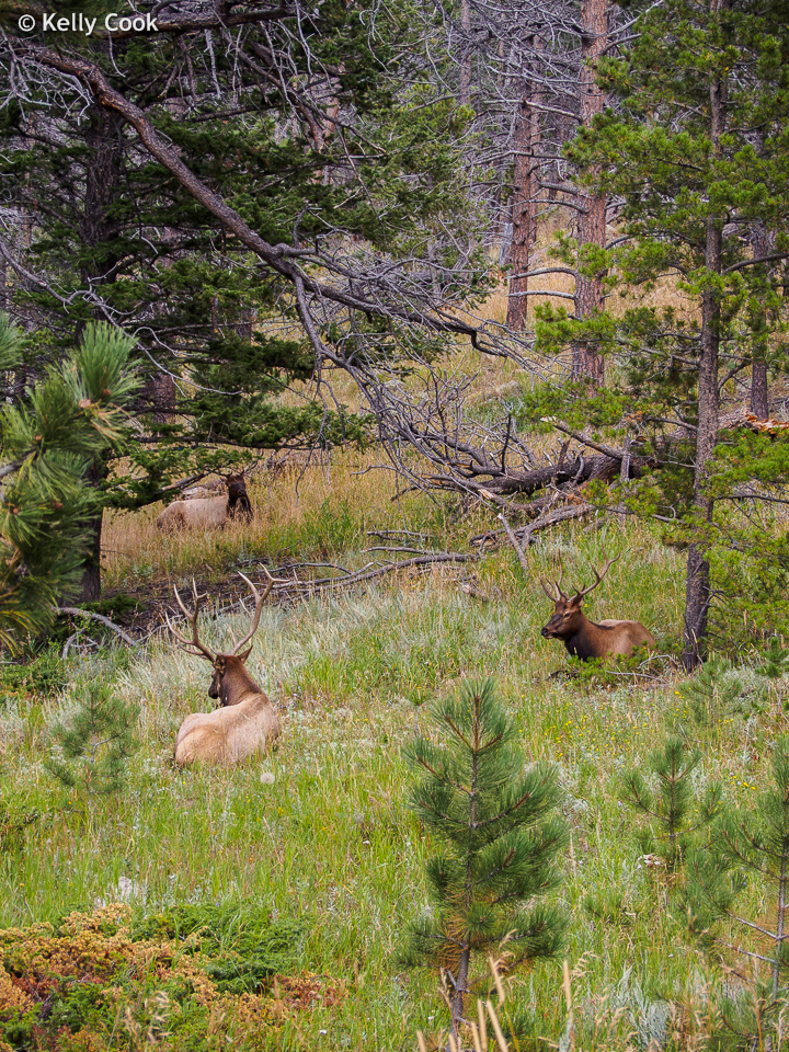
Elk relaxing. Look closely for the 3rd elk in the distance.
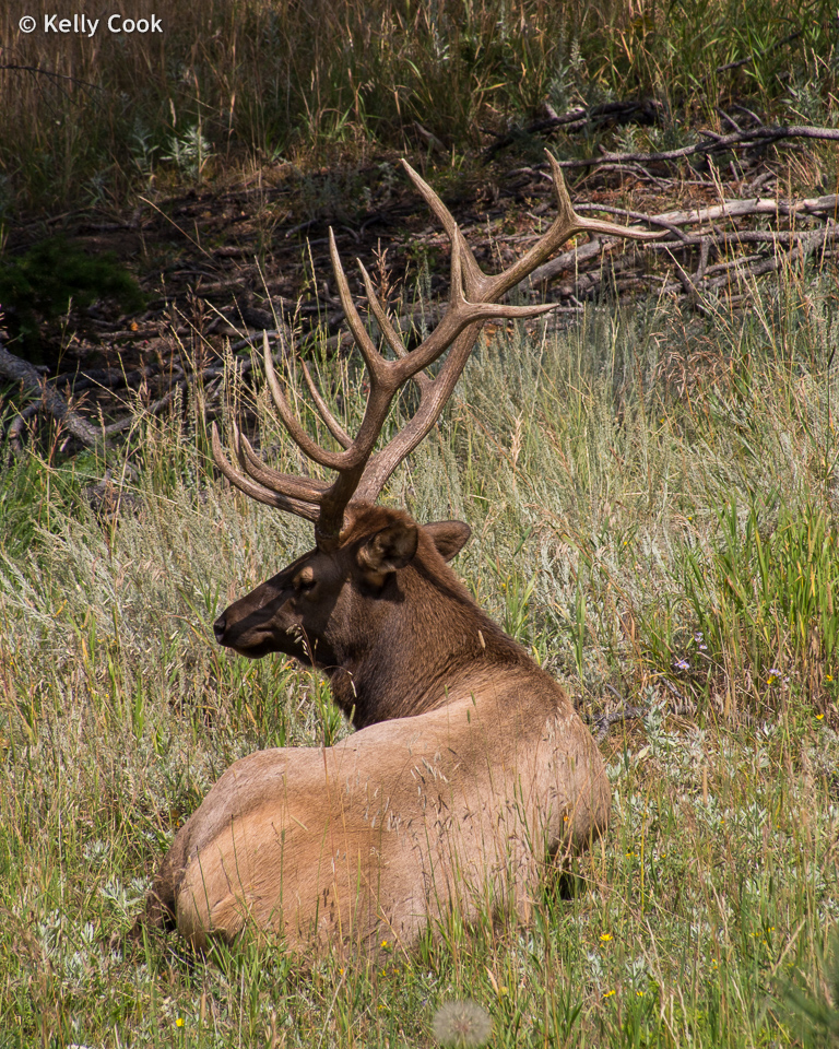
Male elk
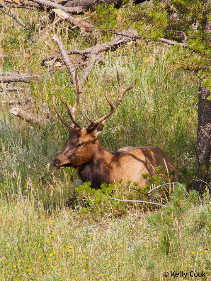
Younger elk
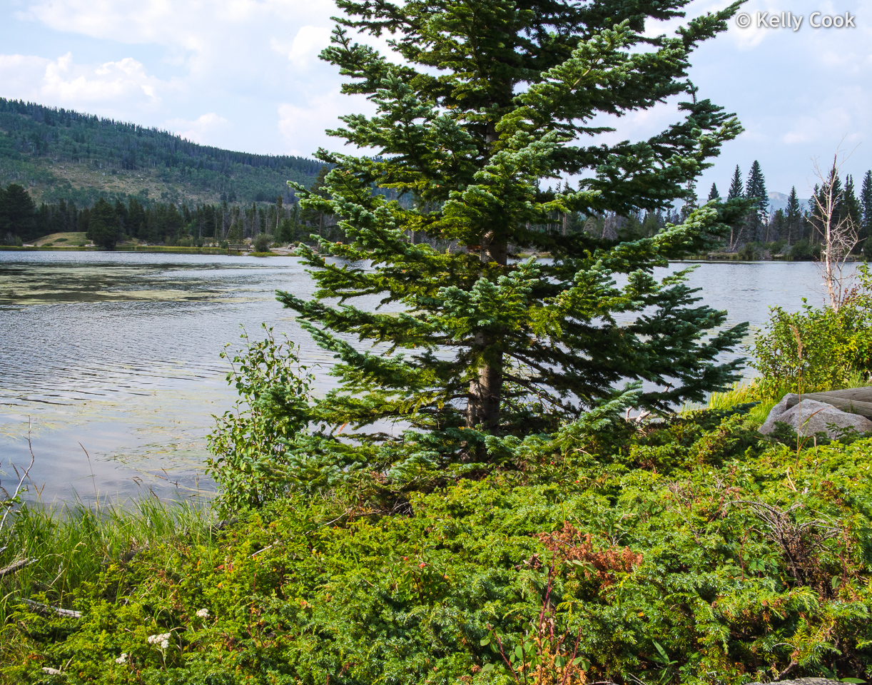
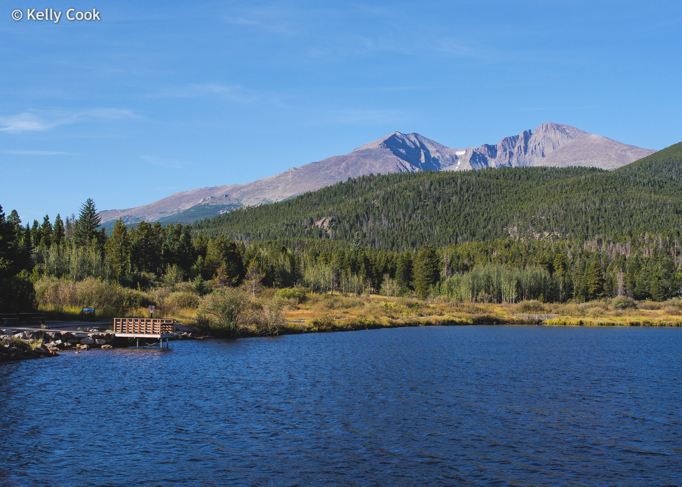
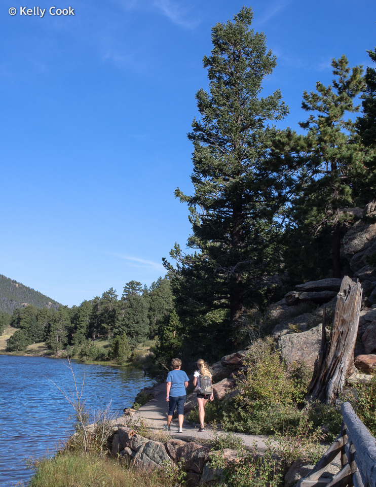
Sprague Lake is 13 acres, larger than the lakes farther up the mountain. It is close to the road, with a very easy trail around it.
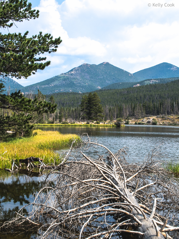
The trail starts at the west end of the lake. It appears to be policy to leave deadwood in place, there was plenty of it.
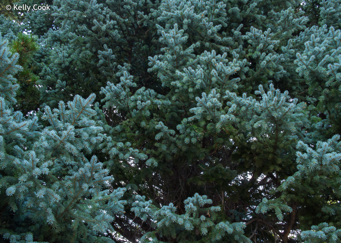
There are some blue spruce, but not a lot.
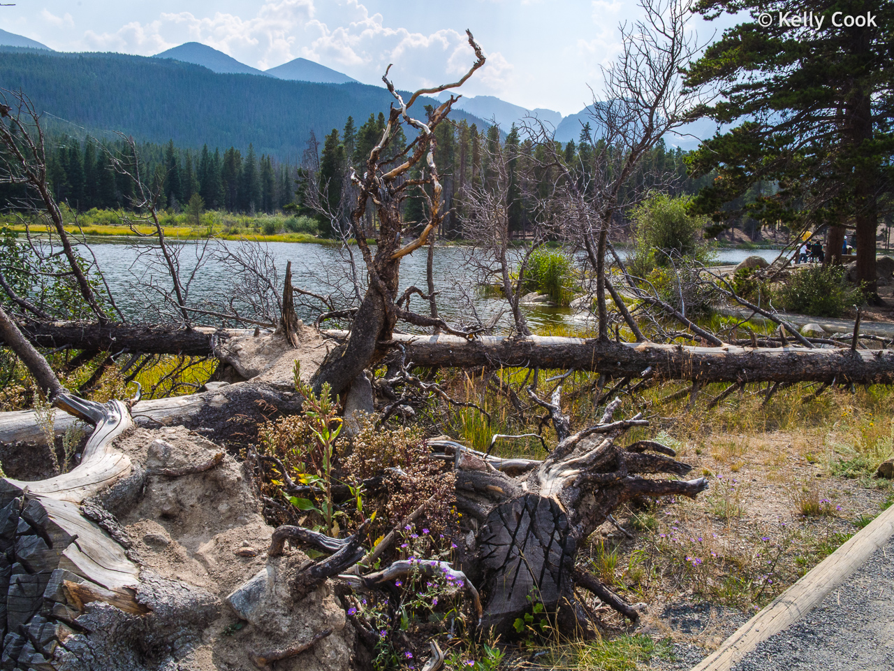
More deadwood. This is looking back west, toward the higher mountains on the Continental Divide.
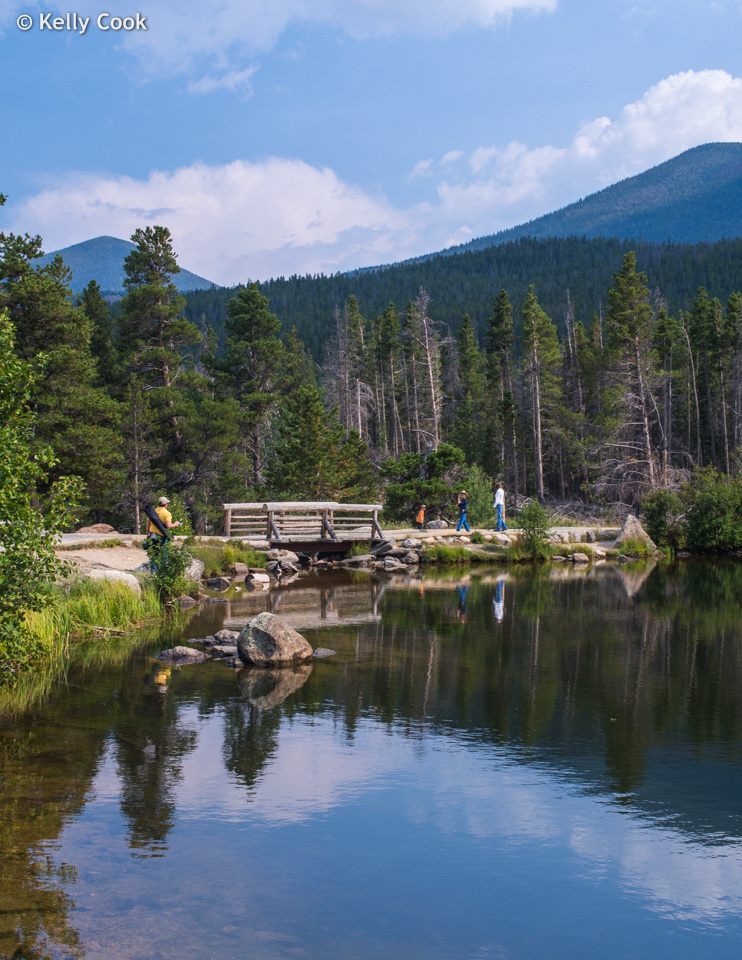
Rustic bridge over the creek that drains Sprague Lake at its eastern end.
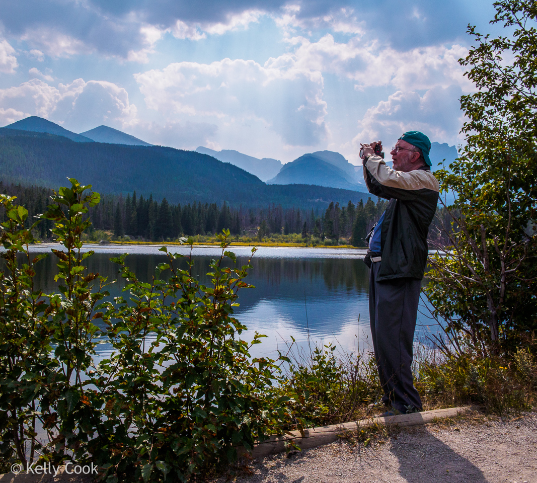
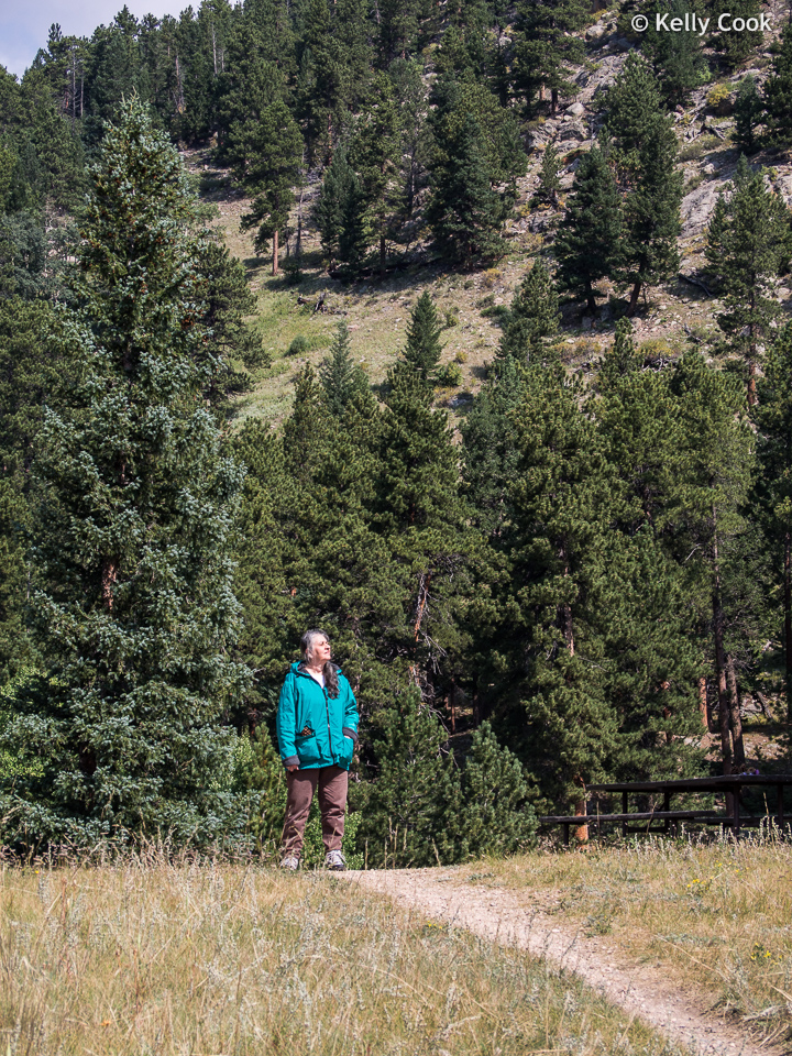
Myself, trying to get a pretty picture. It’s late in the morning, so the clouds are building up again.
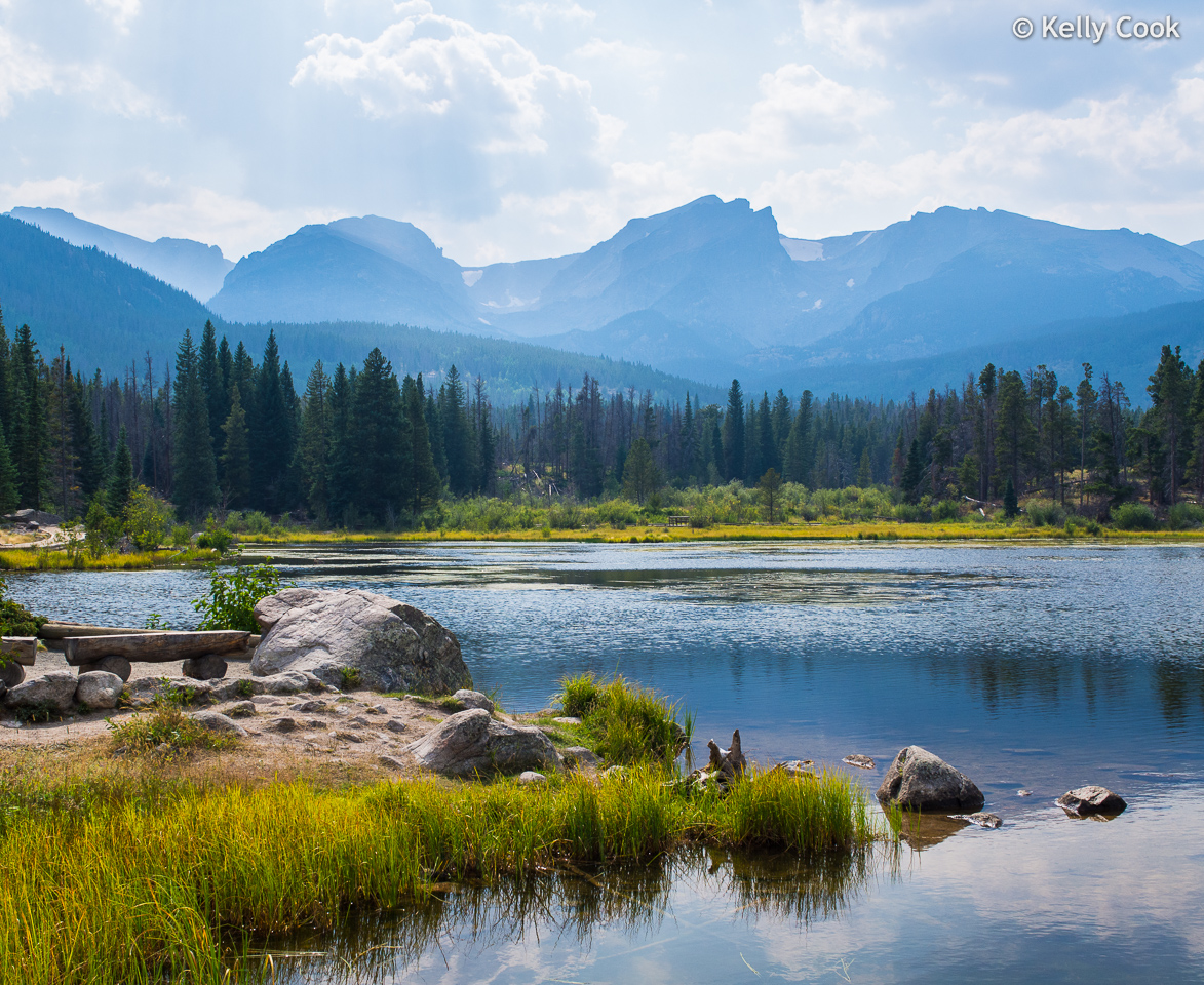
This is the picture. Looking west. Those 3 peaks (left to right) are Otis Peak, Hallett Peak (just right of center), and Flattop Mountain. Hallett is the highest at 12,713 feet.
Unusual shrub around the base of this tree.
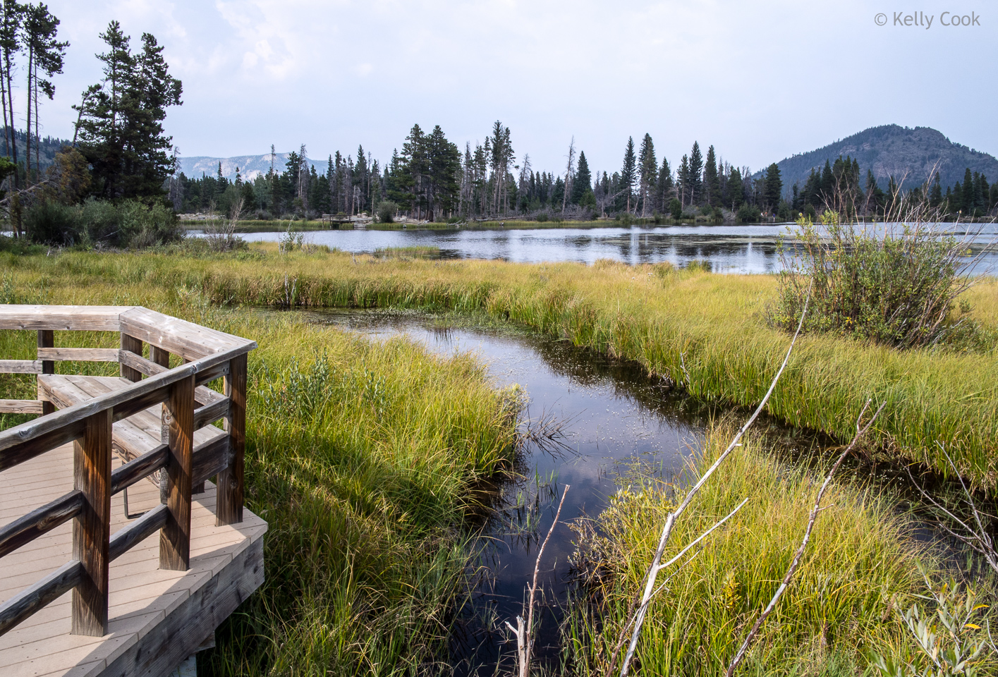
Back at the west end of Sprague Lake, the creek feeding into the lake has formed a lush marsh.
For more info on Sprague Lake, try this site – Sprague Lake Loop . The building clouds were closing down light for photography, so we turned around and headed back toward Estes Park.
Along the way were a few cabins, what a view they have!
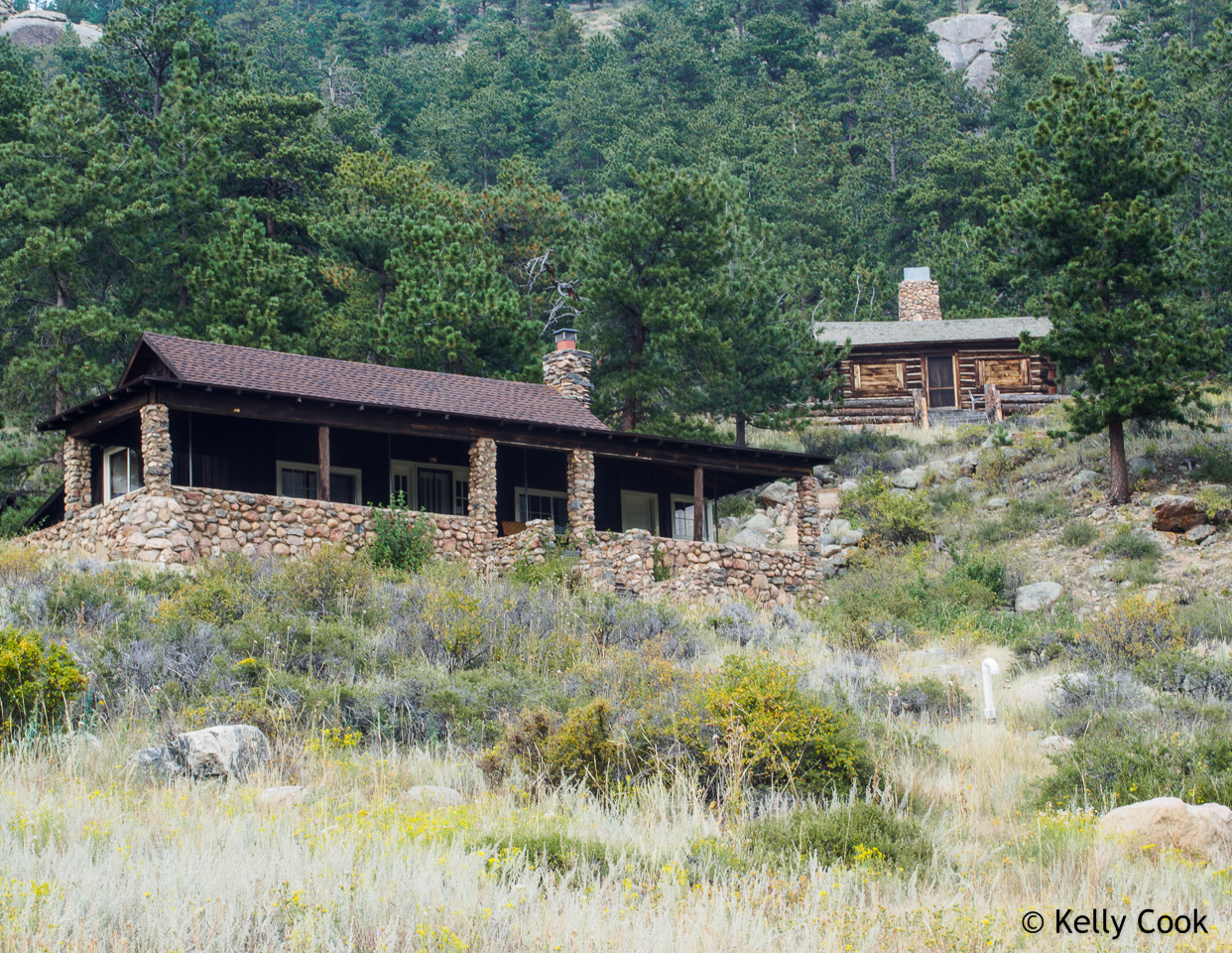
Cabins overlooking Moraine Park
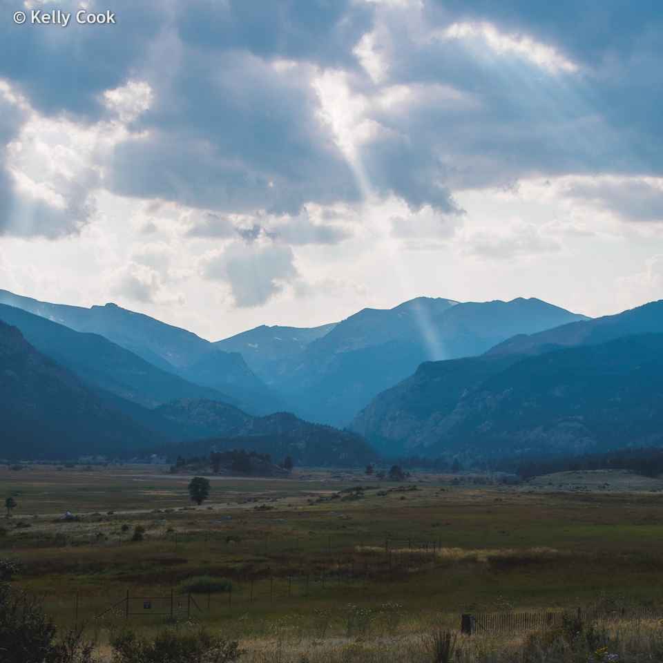
Moraine Park, looking west. I was lucky to get the shaft of sunlight.
That shaft of light was gone in just a few minutes. The deep valley beyond is for the Thompson River, on the left is Bighorn Flats, on the right is Stones Peak, 12922 feet.
Day 3 looked like good weather. The RMNP is known for its picturesque little mountain lakes. This morning the first thing we headed for was Bear Lake, which is further up the same road we the day before to Sprague Lake. I thought we would be there plenty early, but the parking lot was already almost full!
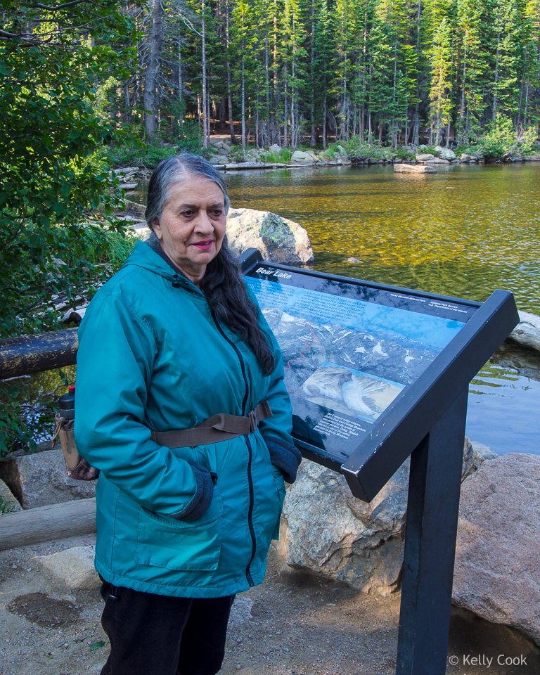
Bear Lake is a short walk from the parking lot. Nice sign explaining it all.
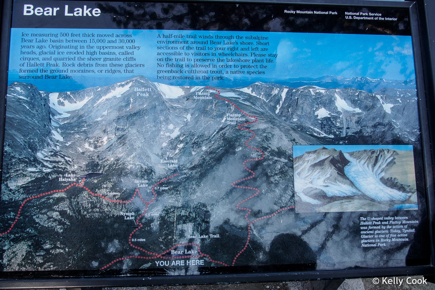
The Bear Lake story
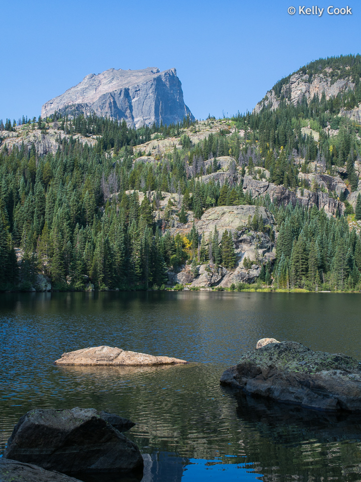
An iconic view of Bear Lake. That majestic peak in the distance is a bit of an illusion. It is really a huge outcropping on the main ridge coming down from Hallett Peak. It hides Hallett Peak from view, Hallett is even higher.
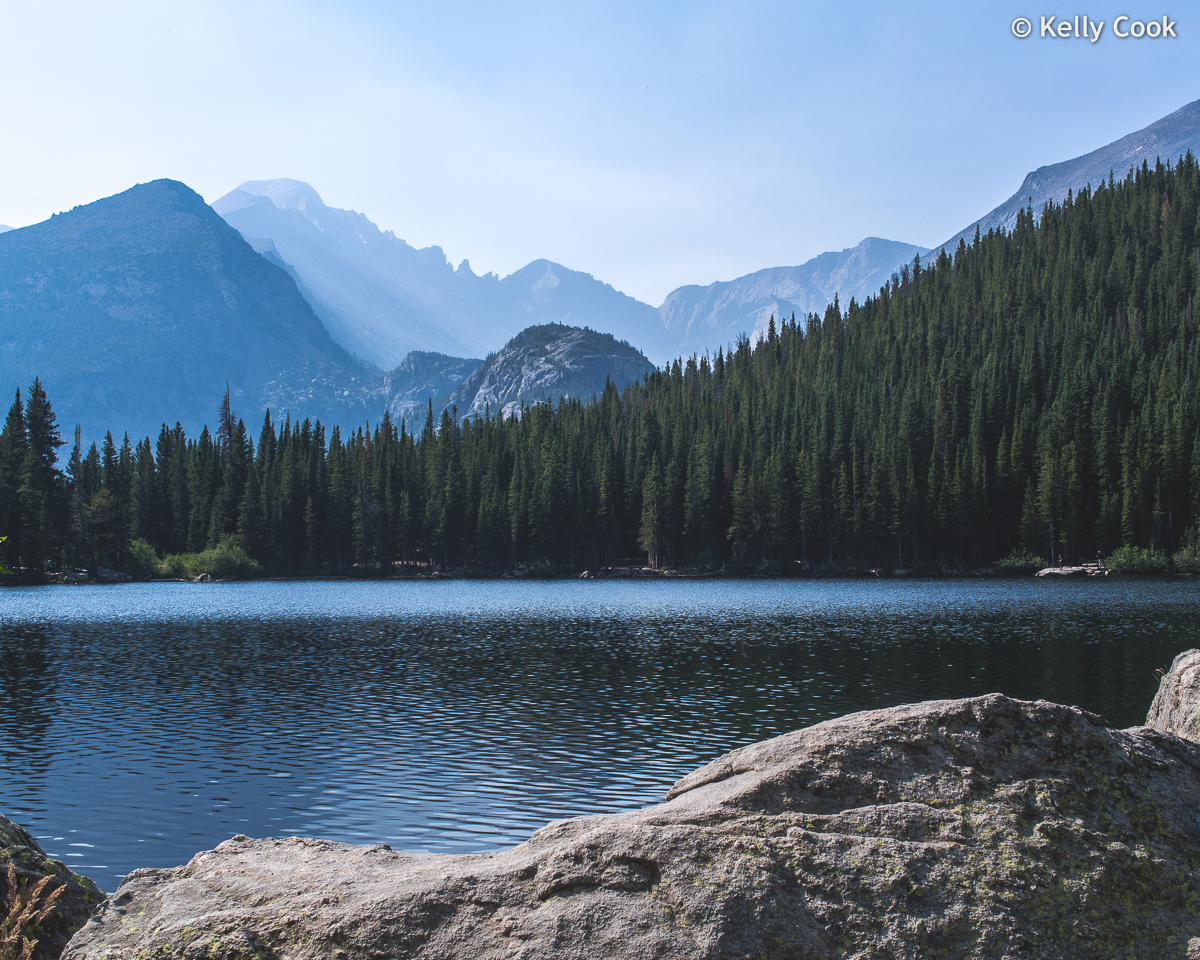
From the north shore of Bear Lake there is a nice view of Half Mountain (near left edge) and Longs Peak (further back). Longs Peak is 14,255 feet. Bear Lake itself is at 9,475.
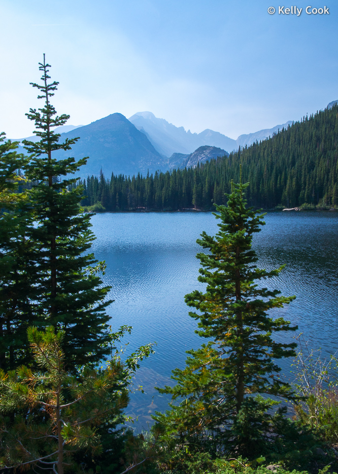
A few yards further along the trail and the same view can be framed with 2 skinny pines. At this point we should have turned around and returned, as the trail gets more rugged after this.
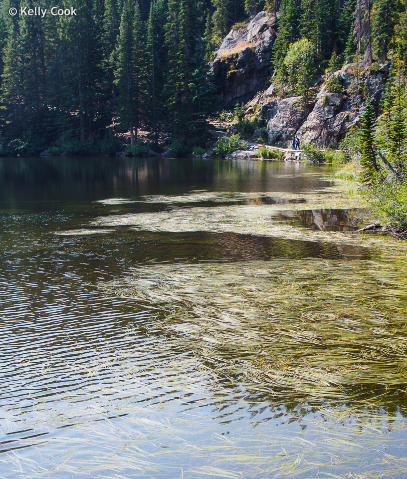
But, none the wiser, we persisted onward around the lake. I don’t know the story behind all these floating reeds, they did make an interesting sight.
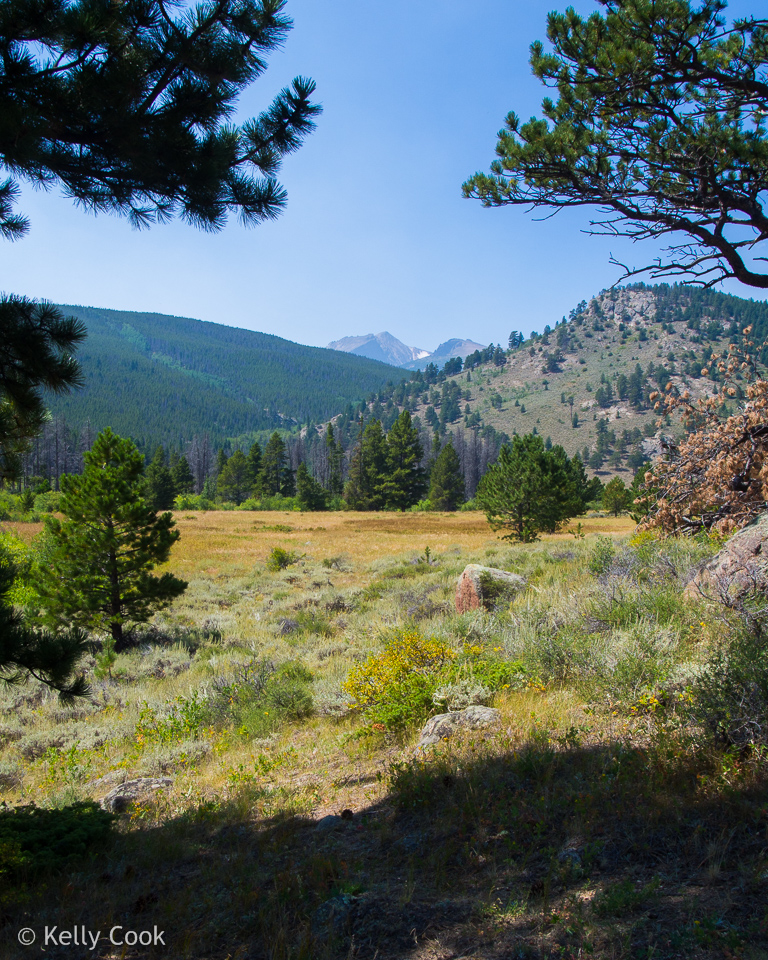
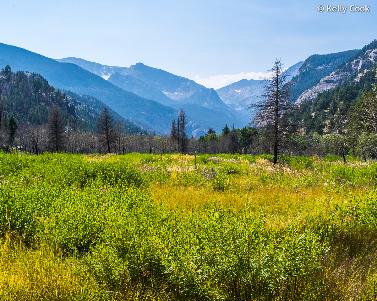
Tuckered out by the Bear Lake hike, we retreated to the lower meadows. This is Hollowell Park, located between Moraine Park and Sprague Lake. Very nice in that it does not get the big crowds found at the better known spots.
This is a telephoto view of the distant peaks (about 5 miles), you can just make out from Hollowell Park. Left is Hallett Peak, the snowy patch in the middle is Tyndall Glacier, right is Flattop Mountain.
Our next stop was Moraine Park, which is just as popular as Bear Lake. This view is from the back portion of the park, with the deep valley for the Thompson River beyond.
The paved road in Moraine Park goes only about 1/3 of the way to the peaks, it’s all hiking beyond that. Left is Bighorn Flats, Sprague Mtn on the right side (12,713). The high hanging valley between these is Spruce Canyon.
Day 4 was not going to be even a half day, as we were scheduled to drive back to Denver for the flight home. Still, we tried to make the most of it by taking a route that kept us in the mountains as much as possible.
First stop was Lily Lake, about 5 miles south of Estes Park. Lily lies in a saddle between mountains, and is just barely inside the RMNP. Near center is Mt Meeker (13,911), right of that is Mt Lady Washington. The deep depression between these that looks like a crater is called a “cirque”.
Lily has an easy trail around it. Its biggest charm is that it doesn’t get the big crowds found at the other lakes.
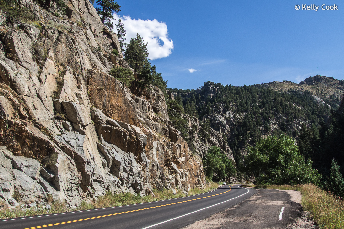
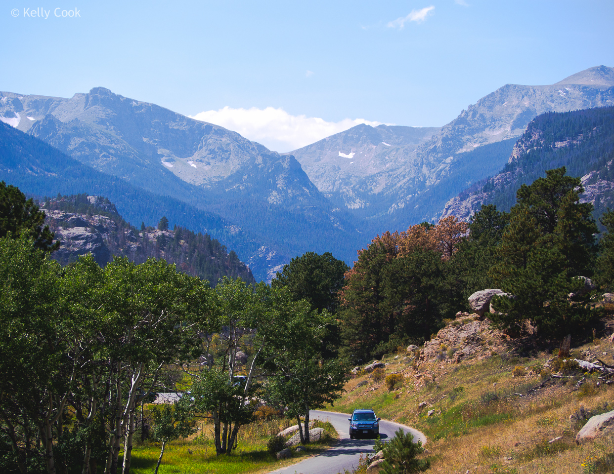
Getting out of this part of the Rockies usually means a drive through a canyon. This is Boulder Creek Canyon.
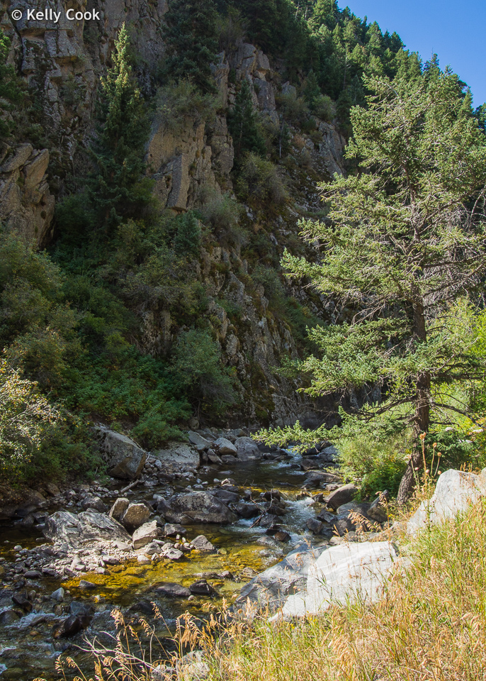
There are fish in Boulder Creek. This area is only about 25 miles from Denver, so it’s very popular on weekends.
Thank you for looking over our pictures!
Some great photos, Kelly. Bear Lake looks absolutely beautiful. And how lucky were you to find those elk lounging in the grass? What great shots.
Looks like you had a great time. Deborah and I hope you and Myrna have a very happy Thanksgiving. And thanx so much for sharing your photos.
Best regards,
Blake
Hi Blake. You won the race to be the first to comment on this new blog! (Sorry, no prize for that.) We were very surprised that the elk were so “tame”. Estes Park may be “old hat” as destinations go, but I recommend it.
Hi Kelly, Great photos. I’m glad to learn about you two.
Duane
Thanks Duane. We did have a great time in Estes Park.